Given a map of your area, could you indicate where the historical family plots, churchyards, and cemeteries reside? MSGIC’s very own Ashley Samonisky could, with her comprehensive map of grave-sites in Dorchester County. After over six months of data collection in the field, she presented her findings at the Robbins Heritage Center in Cambridge this week.
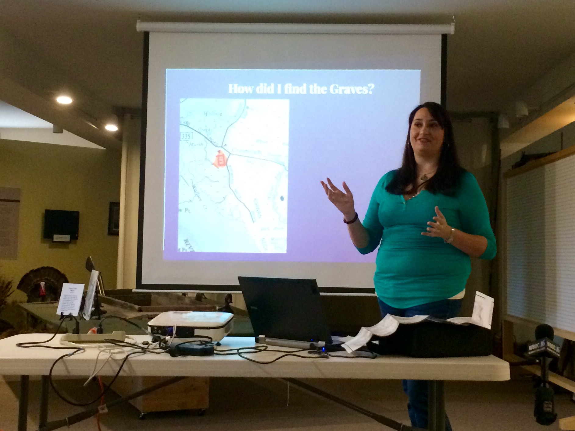
[Samonisky explains her process in a presentation to the Heritage Center, peers from the University, and local news]
“With an interest in genealogy learned from my grandmother and a lifelong interest in photographing these beautiful, serene places of rest and remembrance, sharing this passion was the next logical step.” – DorchesterGraves.com
As a Salisbury University geography major, Samonisky recruited a team to help her with her growing project. Through her website, she has collected tips from locals about previously undocumented sites and crosschecked them with google earth. From there, she and her team would travel to the site with their cameras in search of grave markers.
But Ashley would advise caution to future geographers in search of family gravesites. The loose ground and overgrowth is potentially dangerous, and many of the graves are on private property.
The result? A map with single points representing all of the grave-sites in Dorchester County. The map, which can be found here, also has a layer of flood model information which projects areas that will be underwater by 2100. This leaves over 109 graves in the water. In fact, her website has a collection of photos from current grave-sites that are slowly being washed into the bay.

[A beautiful paper map, but the interactive version can be found online]
Data collection resumes in July.
____________________________________________
The event at the Robbins Center was covered by WBOC local news. See their footage here.
More information can be found at dorchestergraves.com


