 |
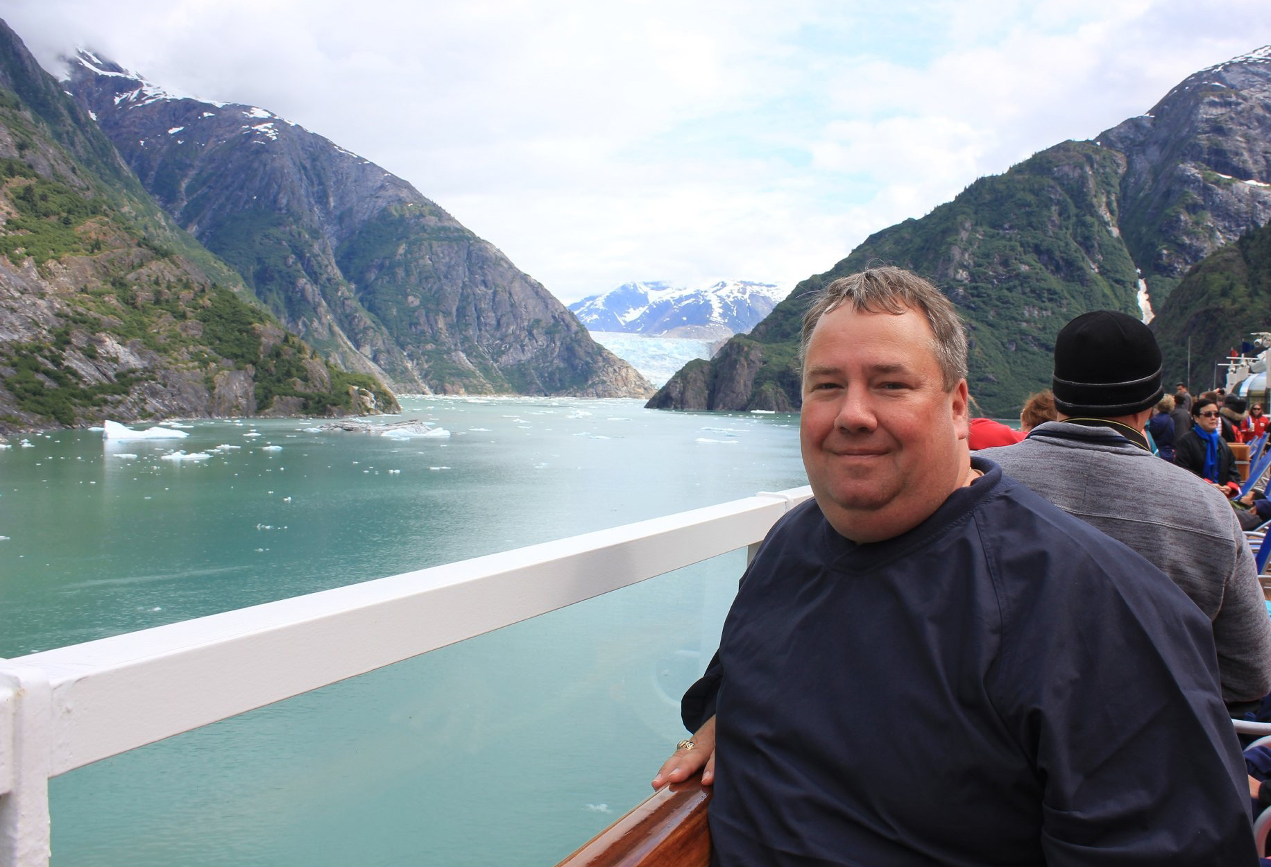
Quick Facts about Patrick Callahan
|
When I asked Patrick what he loved the most about his job, he replied, “the variety of the job – everyday there is something new.” I think his response will resonate with the majority of GIS folks in Maryland. Here are some fun facts about Patrick!
What is one of your favoritie hobbies?
For the past 3 years, my father and I have been researching the genealogy of his side of the family.
What is your favorite GIS book?
“Design with Nature,” by Ian McHarg. I am a history buff and find it interesting in how he put in place the building blocks what is now GIS.
What professional organizations are you active in?
I am the Chair for the Maryland State Geographic Information Committee’s (MSGIC) Data and Resources Subcommittee and a member of the Executive Committee. I am also involved with the Washington Metropolitan Council of Governments (MWCOG) as an Executive member of the GIS Subcommittee.
How has GIS changed since you first started your career?
This makes me feel old, but I graduated from Appalachian State University in 1989 with a Bachelors of Science in Geography and a concentration in Computer Assisted Cartography. GIS was just starting to be realized through the use of computers. The phenomenal growth of technology really kick started this field. My first project out of college was creating a planimetric map of 10 blocks of downtown Providence, Rhode Island. Only 10 blocks, because at the time ESRI’s pc/ArcInfo 5 could only manage coverages with no more than 500 records. Now we manage a property layer in Prince George’s County with over 285,000 records.
Where do you see GIS going in the future?
I see GIS continuing to be a mainstream tool for the public. The ability to carry maps on a smartphone and find the closest restaurant to your location wasn’t possible a decade ago. Think what your smartphone will be capable of in the next decade. Demand for GIS data and people with skills in creating those GIS tools will continue to grow. In Prince George’s County Government, I am seeing use of GIS expand into all agencies. This, in turn, will allow the Government to be more efficient and provide more transparency to the Public.
Where do you see the job market going in terms of opportunities in GIS?
I find it interesting how more job fields are requiring GIS skills. There will always be a demand for GIS in your traditional computer science, engineering and environmental fields, but I see fields like health and human services, human resources, and business beginning to think spatially with their data. I think as the GIS tools become more user friendly, even more job markets will be opening up to employees with GIS skills in their field.
How did you get interested in the field of geography/GIS?
I always had an interest as a kid in maps. I would love taking the highway maps on trips and trying to follow where we were on the map. When I was a freshman at Appalachian State University, I decided at the start to be a computer science major. While computers intrigued me, I found subjects like advanced calculus and discrete mathematics tough to understand, and was struggling. My spring semester, I had to take an elective class, Introduction to World Geography with Dr. Ole Gade. He was originally from Denmark and had taught Geography at Appalachian for over 15 years. He made Geography come alive for me. He didn’t just spew out facts and figures; he had us dig deep into the subject at hand. Dr. Gade saw my interest in cartography and computers and for my final project in the class he asked me to look at the effects and map out the Oosterscheldekering, or storm surge barriers on the Oosterschelde estuary in the Netherlands. It didn’t take long for me to meet with Dr. Gade to talk about changing my major to Geography.
Do you have a mentor? Who?
I have several people who I see that have mentored me in getting my start in the field of GIS. First and foremost, my uncle, Robert Dahlstedt, was a great influence on my GIS career. He was the Director of Planning for Henrico County, Virginia at the time and saw my interest in cartography and helped guide me toward the new field of GIS. He helped me get an internship with his friend and owner of Aerial Data Reduction (ADR), Inc, Bill Cadzow, in Pennsauken, New Jersey in 1989. Mr. Cadzow influenced me into seeing all sides of the field. Not just making maps, but how they could be used for different ways to find solutions. He was just beginning to start a GIS division at ADR when he hired me in to work with probably one of the most important person in my career, Chris Cappelli. Chris amazed me with what he knew in this field and was a great teacher to me. I think the greatest take away that I learned from Chris was being able to find a solution to a problem by trying all options. We never had to go back to a client and explain that it wouldn’t work, but show them a better way to get to the result. I ended up working for ADR for 6 years and working with Chris for 3 of those years.
What is one piece of advice you would give to a newbie in the field?
With the way technology is changing so quickly, you need to be prepared to always keep learning. No matter how long you have been in the business, there will always be a new programming language or new way of presenting GIS information. You can be quickly left behind if you don’t keep pace with technology. There are so many learning opportunities available now that taking that extra time to take advantage will pay off in the end.


