 The MSGIC Quarterly meeting in Prince Frederick, Maryland held a panel discussion this morning related to Open Data in the Geospatial Community. Use this blog to continue the discussion outside of the meeting by posting your ideas, comments, or anything related to Open Data!
What is Open Data?
Open Data is not a new concept in Maryland. Early initiatives applied the concept of data sharing amongst participating organizations and across governmental boundaries. Newer initiatives aimed to centralize and provide ready access of both spatial and non-spatial data to all interested end users.
For decades, the industry practice was to silo data. To make copies upon copies of the same data, that quickly became out-of-date and less and less reliable. Some reasons for doing so were legitimate. Some reasons were not so legitimate… But technology has removed many obstacles and provided numerous avenues to freely and safely share data. So, why is the idea of Open Data just catching on now?
Habits are hard to break, but we have already begun to develop a culture where data sharing is the norm and not the exception. Where sharing and transparency are avidly pursued and applauded. Where the next generation of data creators, owners and users don’t know there is another option.
There will continue to be growing pains and bumps along the way, but we are all a part of the past, present and future of data in Maryland. What we do today will leave a lasting impact for decades to come.
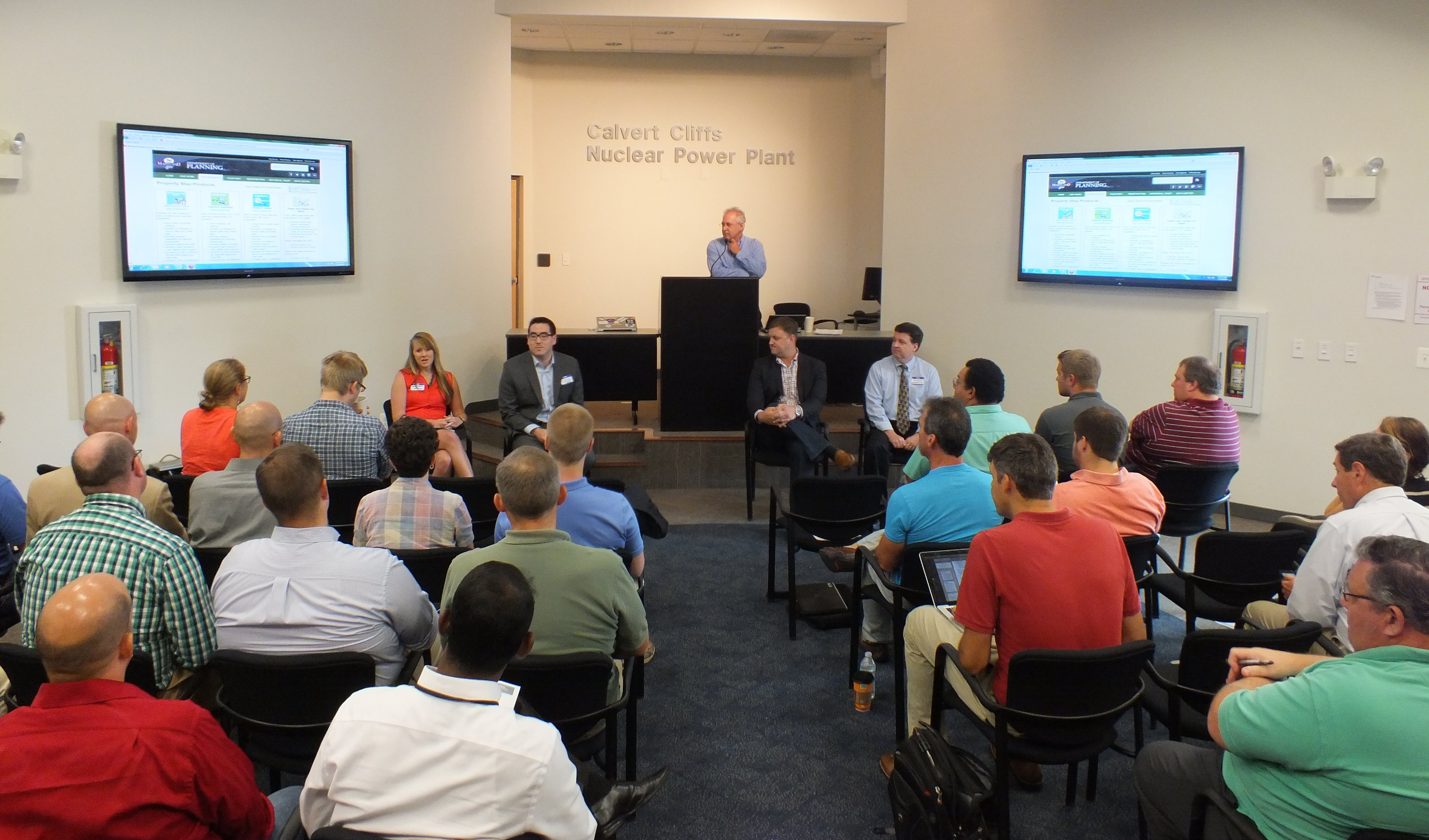
Key Discussions from the Panel Members
Panel Members:
Jim Cannistra, Maryland Department of Planning
John Gillick, Montgomery County Government
Anthony Puzzo, Esri
Ewan Simpson, Socrata
Shelley Spruill, Office of the Governor, StateStat
- Maryland Department of Planning (MDP) is now providing Maryland Property View data online and at no charge. Click here to download MDP’s open GIS data.
- 18 months ago Montgomery County launched an open data program, called dataMontgomery, which currently has 40 datasets representing 13 of 40 departments in the county. They are displaying data in ways that are sensible to their users, and hope to release 50 additional datasets in the coming year. 35 of these will be map-based as they see them as foundational datasets and consumers respond well to maps.
- Another open data initiative, Budget Montgomery, is being released soon which provides details on the county budgets.
- Montgomery County conducted a data inventory in the county. It was a 6-8 month process where they identified 30-40 datasets that were duplicates. John indicated the inventory was a time intensive process, but well worth the investment.
- Montgomery county has a signature process to review the data prior to publishing as open data. Public datasets have already gone through a filtering process in which they ensure that all personal identification is removed from a dataset.
- The State of Maryland works closely with Socrata and has implemented Maryland’s Open Data Portal for the public to view Maryland’s data – approximately 400 datasets are available currently. Maryland’s StateStat office also connects the portal directly to their goals website. The Governor set 16 strategic policy goals with measurable deadlines and tracks the goals online in real time. Maryland believes they are the only state to connect and combine their Open Data Portal with their measurable goals page, with data coming directly from the agencies.
- Socrata essentially acts as a data broker. Socrata’s open data platform offers citizens a better way to access and use public information. Rather than going through a formal process to request information, they can review, compare, visualize, and analyze data – and share their discoveries – in real time.
- Maryland municipalities can also build microsites on top of the existing portal, with up to 50 datasets. The City of Frederick is the first one to launch. Maryland is interested in helping municipalities get off the ground and start their own open data programs. Please contact Shelly if you would like to get on board and participate as a municipality.
- Esri’s ArcGIS Open Data platform allows anyone to view, download and reuse however and with whomever they want. It empowers the public to unlock the value inside authoritative data. Users can build their own Open Data website and customize the look and feel in minutes.
- Maryland iMap implemented the Open Data app with a customized look and feel and organized the data into data categories by ISO standard.


