Policy Background
Governments are undergoing an inspiring transformation to modernize and build open, responsive, and collaborative digital tools that support decisions and policy.
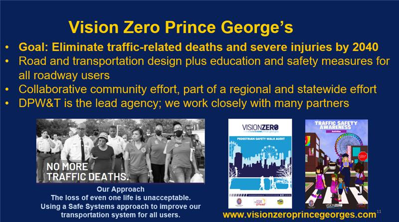
Vision Zero Prince George’s – Safe Streets for Everyone
In 2019, the County Executive launched Vision Zero Prince George’s, a countywide strategy to eliminate traffic-related serious injuries and deaths by 2040. The Department of Public Works and Transportation, the lead agency for Vision Zero Prince George’s, collaborates with partners across the County, State, and region. Prince George’s County developed an ESRI based Vision Zero Prince George’s HUB site in late 2021. The aim is to create simpler and more transparent maps and resources to benefit and enhance our partners and resident’s engagement with the Vision Zero Prince George’s strategy.
The ESRI Hub improves transparency for the public and partner agencies to track and contribute to the progress of Vision Zero Prince George’s actions. We continuously evaluate our investments and rely on information-driven initiatives, which is only possible with such a robust data platform. The Vision Zero Prince George’s Action Plan guides implementation of the safe system approach to improving the roadway network. The site reflects these priorities by highlighting outreach and education events, crash data, traffic safety information, countermeasures, and engineering project investments so that our progress on the actions can be tracked and shared. Additionally, the site contains a library of resources that can be used by people in their own communities and Vision Zero partners, including: Pedestrian Safety Walk Audit guide, and the “Be Seen, Be Alert, Be Safe” pedestrian and bicycle safety campaign. We are excited to have dedicated age-specific resources and initiatives to help children and teens become advocates for traffic safety in their communities: “Kids Corner” and “Youth Ambassadors”.
Vision Zero is a data driven effort. We put our crash data and dangerous roadway analysis at the forefront to demonstrate how investments and resources are dedicated for our engineering countermeasures and enforcement. The seamlessly integrated maps and streamlined imagery tell this story. We are expanding the data analysis to delve into cause and risky behavior that we can influence through engineering changes and education. The flexibility and innovations offered through Hub site are crucial for providing different ways of displaying and explaining the complex information.
Acknowledgements
DPW&T has collaborated with the GIS manager’s team, Websupport, the crash data task force, and the communications workgroup during the development process.
OIT’s technical expertise allowed us to explore the new ESRI ArcGIS Hub, which we found a constructive platform for organizing data and tools to accomplish the Vision Zero initiatives and goals.
Contacts
Andrea Lasker, Vision Zero Coordinator 240-676-5640 alasker@co.pg.md.us
Patrick Callahan, GIS Manager, Office of Information Technology 301-883-5343


